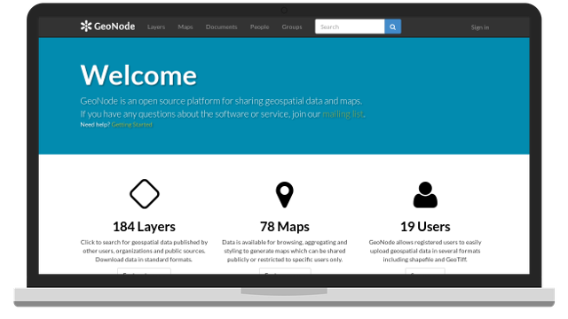
GeoNode Development
GeoNode is a web-based application and platform for developing geospatial information systems (GIS) and for deploying spatial data infrastructures (SDI). We offer core development and customization services for your needs.
pycsw Development
pycsw is an OGC CSW server implementation written in Python. pycsw allows for the publishing and discovery of geospatial metadata via numerous APIs (CSW 2/CSW 3, OpenSearch, OAI-PMH, SRU), providing a standards-based metadata and catalogue component of spatial data infrastructures. We offer core development services for your needs.

pygeoapi Development
pygeoapi is a Python server implementation of the OGC API suite of standards. The project emerged as part of the next generation OGC API efforts in 2018 and provides the capability for organizations to deploy a RESTful OGC API endpoint using OpenAPI, GeoJSON, and HTML. pygeoapi is open source and released under an MIT license. We offer core development services for your needs.
